Wagyl Kaip
priorities guide early science in Mamang Maambakoort Marine Park
All imagery and footage by DBCAMamang Maambakoort Marine Park stretches along Western Australia’s south coast, from east of Bremer Bay to around 30km past Hopetoun. Covering about 94,000 hectares of Sea Country, it forms part of the wider South Coast Marine Park network and links with the Fitzgerald River National Park and the Fitzgerald Biosphere Reserve, a region recognised for high biodiversity.
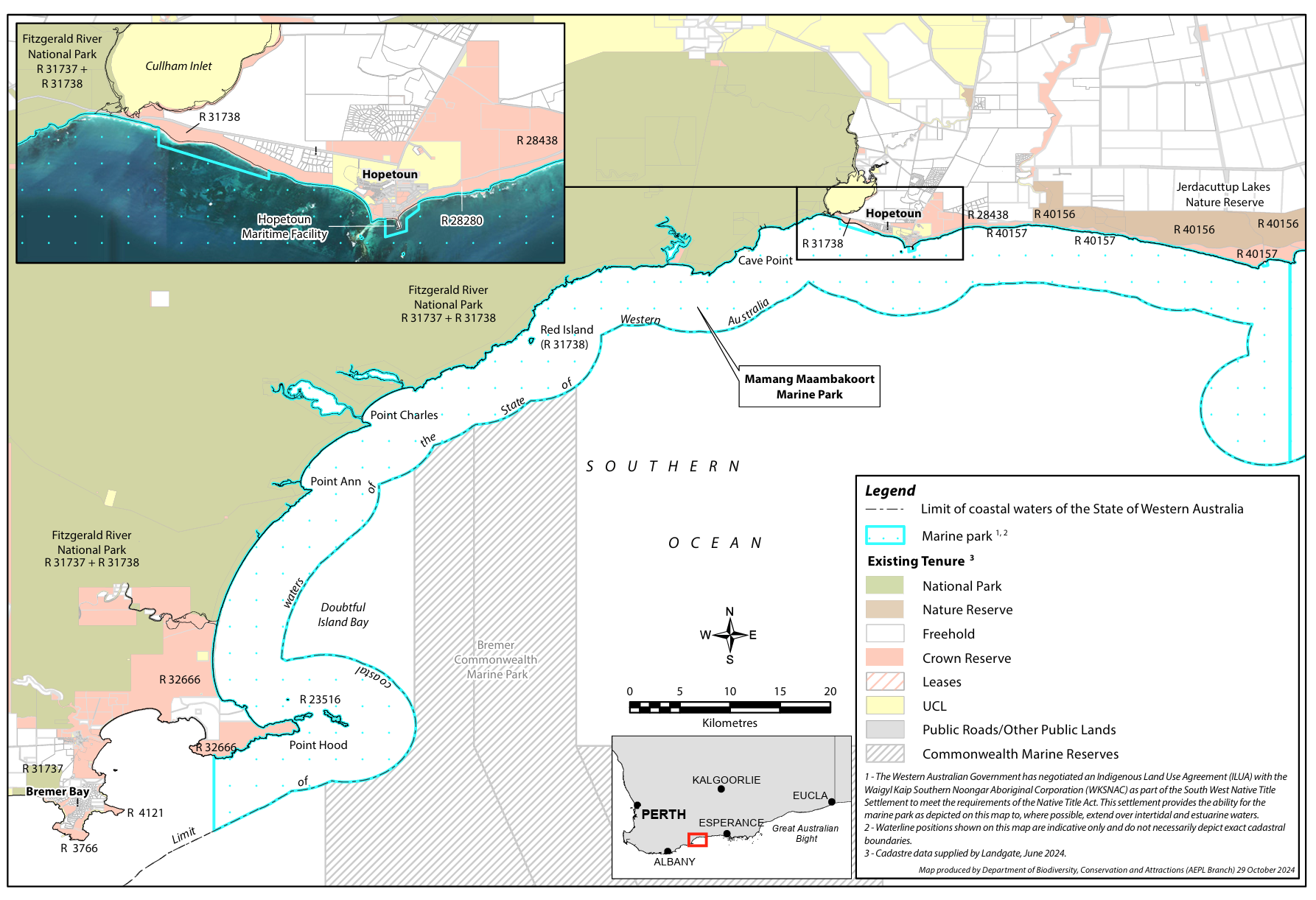
Map: Zoning for the Mamang Maambakoort Marine Park Source: DBCAMamang Maambakoort Marine Park lies on Goreng Country, part of the Noongar nation. It includes coastal waters, reefs, seagrass and seaweed habitats used by whales, seals, penguins and other marine life. Nearby inlets and estuaries are also important cultural places where land and Sea Country meet. The park is jointly managed by Wagyl Kaip Southern Noongar people, represented by the Wagyl Kaip Southern Noongar Aboriginal Corporation, and the Department of Biodiversity, Conservation and Attractions.

For Wagyl Kaip Southern Noongar people, this place is Sea Country. The name Mamang Maambakoort reflects that connection, with mamang meaning whale and maambakoort meaning ocean or Sea Country.

The area carries long cultural histories, including fishing practices, knowledge of seasonal change, and stories passed down through generations. That knowledge is now part of how the park is being understood and managed.
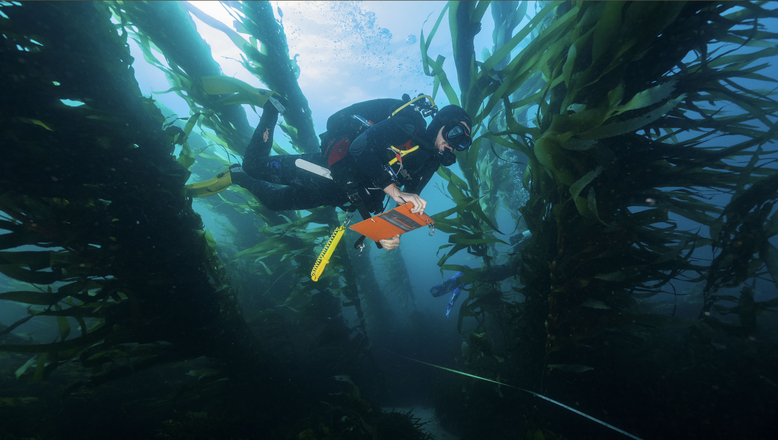
In March 2026, Wagyl Kaip Joint Management Body representatives and DBCA staff came together in Albany to discuss priorities for the first years of the marine park. The workshop focused on what matters most for Wagyl Kaip, the key ecological and biocultural values of the park, knowledge gaps, pressures, and the next steps for research and monitoring.
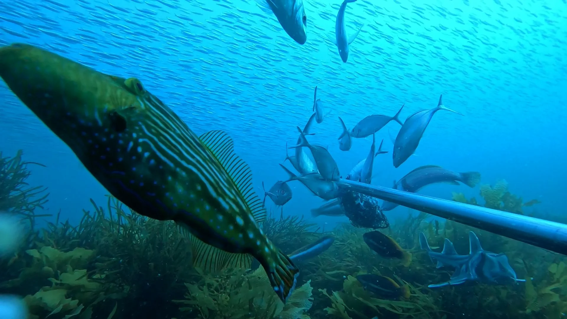
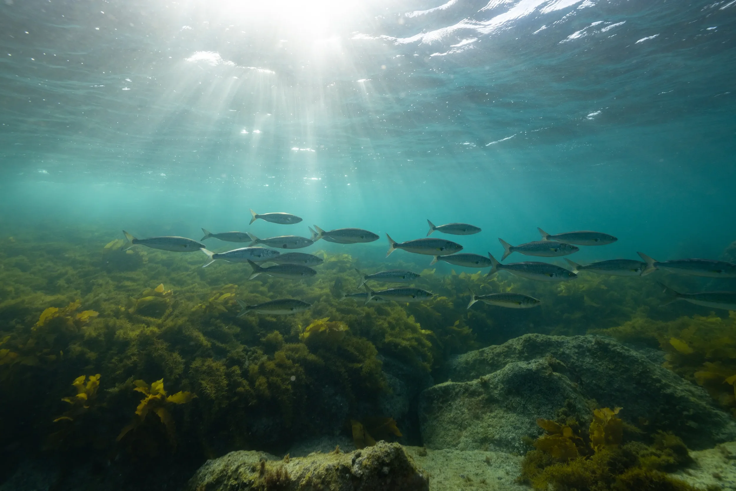
These cameras record fish and other marine life attracted to bait, allowing researchers to identify species and build data on fish presence, relative abundance and community composition across survey sites.
From priorities to fieldwork
A recent scoping trip to Hopetoun shows how those priorities can start to inform fieldwork and help design a long-term monitoring program. Members of the Mamang Maambakoort Marine Park Joint Management Committee worked with DBCA staff to deploy 155 baited remote underwater video systems, known as BRUVs.
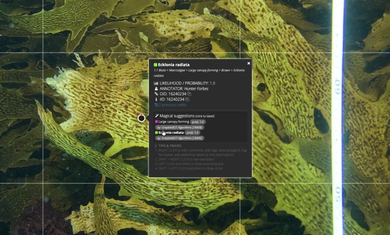
The scoping trip also began collecting data against priorities identified through the workshop. The team surveyed 31 sites using a remotely operated vehicle, or ROV, primarily to document macroalgae communities, the highest-ranked research priority.
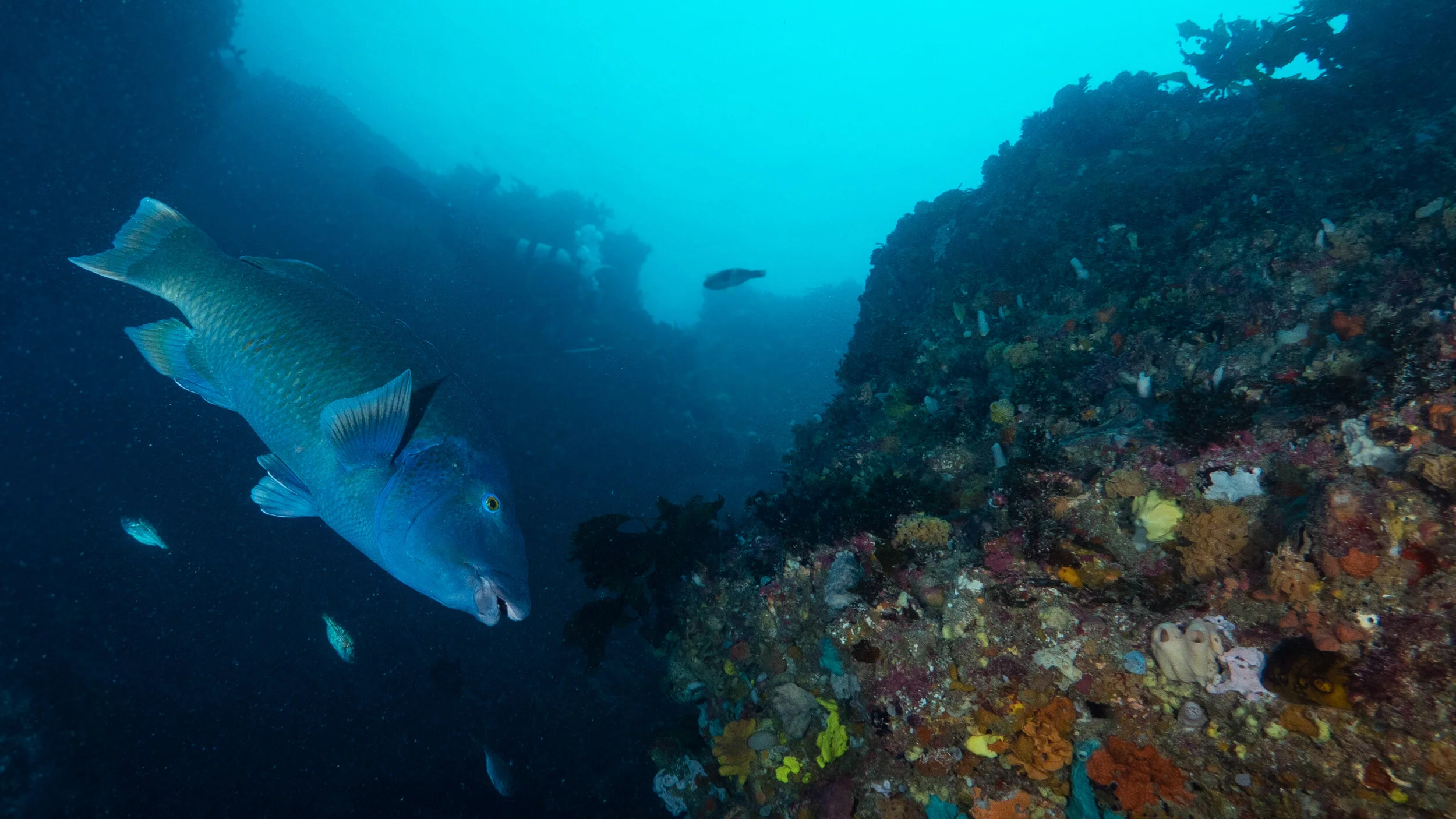
The ROV surveys also recorded unexpectedly high numbers of blue groper, a species identified by Wagyl Kaip as a monitoring priority. In response, the team adapted the survey design and added further BRUV deployments along rocky shore habitats to improve coverage of blue groper.
The Joint Management Committee includes Graeme Miniter, Deborah Woods, Murray Hodson, Iris Woods, Stuart Roberts and Darryl Eades. Graeme Miniter, Chairperson of the Mamang Maambakoort Marine Park Joint Management Body, described the trip as a chance for Noongar Joint Management Body members to learn about marine science methods, while DBCA staff learned more about Noongar cultural values across Mamang Maambakoort Marine Park and Fitzgerald River National Park.
Mamang Maambakoort Marine Park offers an opportunity to build that knowledge early, with cultural leadership and science working together from the start.
Across the Great Southern Reef, long-term monitoring remains uneven. In many places, patchy baseline data makes it harder to understand how ecosystems are changing under pressure from warming waters, shifting species, fishing pressure and other impacts.
All imagery and footage by DBCAThe next step is to keep building that baseline and turn the agreed priorities into ongoing research and monitoring. Support from universities and the broader research community will be important.
These priorities can help researchers identify where their expertise can contribute and provide clear community and management relevance for future funding proposals. Over time, that work can support stronger decision-making, clearer reporting and a deeper shared understanding of the marine park.
Join Our Community
Sign up to our monthly newsletter to receive the latest updates from around the GSR.
you may also like
-
![]()
Squidle AI and Reef Monitoring
Squidle+ acts as shared infrastructure for marine science. It supports collaborative annotation, quality control between people and algorithms, map-based data exploration, integration with other portals, and the export of training data for machine learning.
-
![]()
National Marine Science Strategy
Australia's new National Marine Science Strategy 2026-36 arrives at a time when pressure on the ocean is rising fast. Climate impacts are accelerating, biodiversity is under strain, coastal risks are growing, and the demand for marine science that can inform real decisions is only becoming more urgent.
-
![]()
Latest News
Catch up on the latest research, stories, projects and opportunities from across the Great Southern Reef.